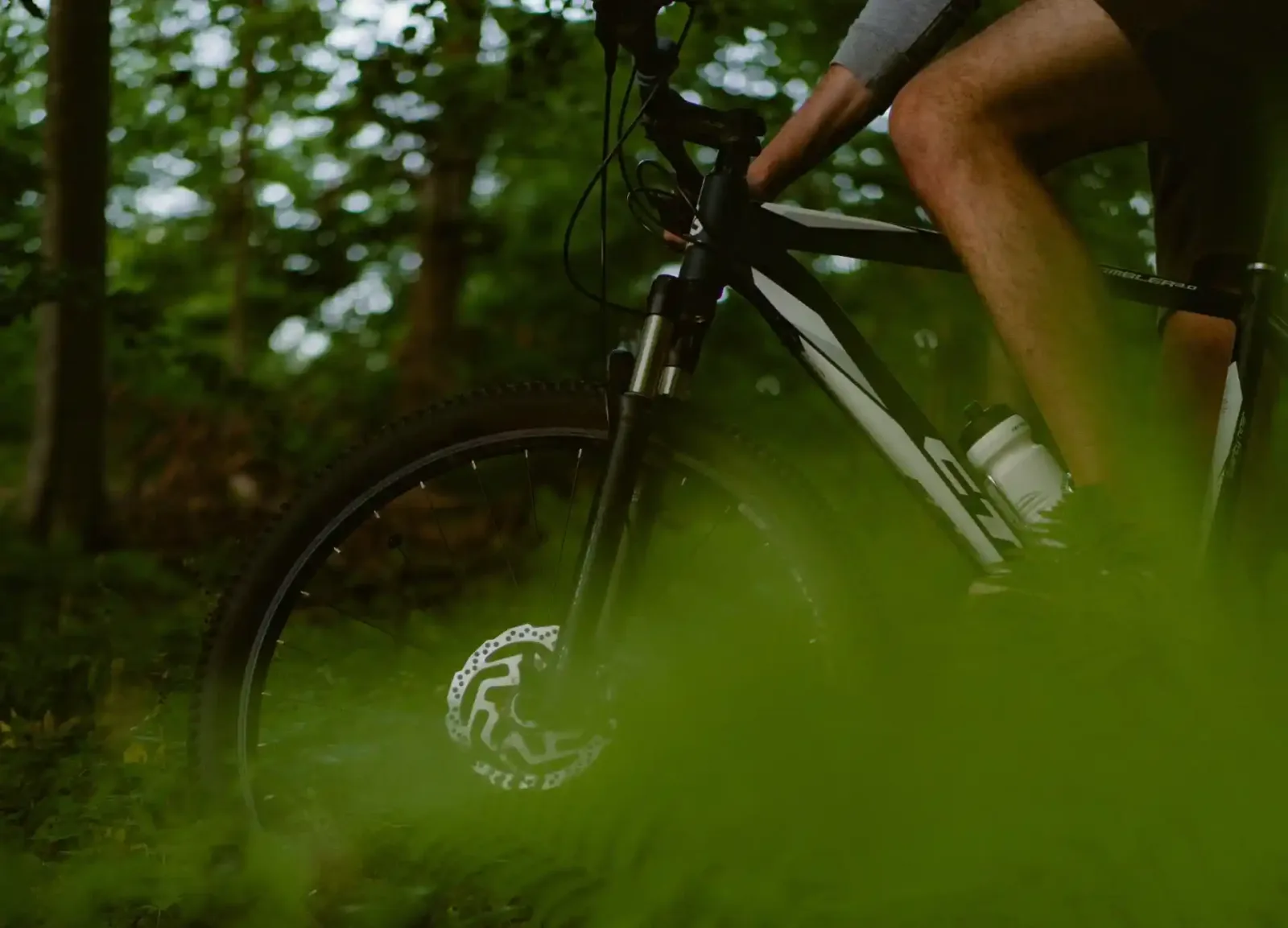
Cycle touring near Cacela Velha: the Ecovia do Litoral (214 km, EuroVelo 1), the Tavira section, Castro Marim marsh routes for mountain bikes and what I could not confirm. Distances from official, dated sources.
The Ecovia do Litoral passes through Cacela Velha and is the simplest way to ride in the area. This guide covers what I could confirm in official or dated sources, with the figures from each, and says what I could not confirm. I did not ride the routes.
Quick answer
- Ecovia do Litoral: 214 km between Cabo de São Vicente and Vila Real de Santo António, across 12 municipalities, and part of EuroVelo 1 (Atlantic Coast Route), according to Baixo Guadiana. It ends next to the old Customs House in Vila Real de Santo António, where the Guadiana Great Route (GR15) starts.
- In the area: the last section passes Tavira, Cacela Velha, Manta Rota, Altura and Monte Gordo (Baixo Guadiana).
- Tavira section: 23.9 km, from the Olhão boundary to the Vila Real de Santo António boundary, with a mixed surface (packed earth, cobbles, asphalt and wooden bridges), according to ciclovia.pt (updated August 2022).
- Season: spring, autumn and winter, according to Baixo Guadiana.
- Difficulty: Baixo Guadiana says medium to high for the whole route; ciclovia.pt describes gentle ups and downs on the Tavira section.
- Not confirmed: the current state of the surface, the exact Ecovia distance between Cacela Velha and Tavira or Vila Real de Santo António, bike hire and the rules for bikes on the Algarve line.
The Ecovia do Litoral
The Ecovia follows cycle paths, rural paths and, in places, paths parallel to National Road 125, with coastal views (Baixo Guadiana). A national active-mobility strategy document also describes it as a route of about 214 km and notes the need to separate traffic on urban sections (IMT).
- Tavira section: according to ciclovia.pt, it follows old municipal roads beside the Ria Formosa and the Tavira Channel, among orange groves, crosses the town of Tavira and Cabanas de Tavira and passes the salt pans, the Gilão river and wooden boardwalks. The page gives two values, 23.9 km and "almost 30 km", so check the distance (ciclovia.pt).
- Near Cacela Velha: Baixo Guadiana says the final stretch passes Cacela Velha, Manta Rota, Altura and Monte Gordo to Vila Real de Santo António. I did not find the exact distance of these stretches. By road, Cacela Velha is about 13 km from Tavira and from Vila Real de Santo António (OSRM, 22 October 2026); the Ecovia may be longer.
- Surface and signage: ciclovia.pt mentions route-specific signage. I found no recent information on the surface: ask Tavira or Vila Real de Santo António municipality.
Mountain biking in the Castro Marim marsh
- Venta Moinhos: 6 km, on foot or by mountain bike, easy, all year, according to the Nature Reserve's official leaflet (2002) (leaflet).
- Cerro do Bufo: a pedestrian and mountain-bike route, linear, flat, 10.5 km return and about 3 hours; in winter, especially in rain, it is not practicable (Baixo Guadiana).
- More: see Walks near Cacela Velha and Castro Marim.
Planning
- Without a car: Tavira is 13 minutes by train from Cacela in the CP regional timetable in force since 19 July 2026; according to CP, bicycles travel free on Regional trains, one per customer and subject to available space, at the conductor's discretion; the page does not mention the Algarve line, so check. See Cacela Velha without a car.
- Hire: I did not confirm where to hire bikes in Tavira or Vila Real de Santo António. If you come by car, check with the hire company whether it accepts bike racks: car hire at Faro Airport.
- Tide and sun: see the tides at Cacela Velha and take water. Do not cross the lagoon on foot.
- Roads: I did not verify the road climbs into the Barrocal and the hills; consult a cycling map before you go.
Where to stay
- Cacela Velha: Booking.com · Tavira: Booking.com · Manta Rota: Booking.com.
- Compare the areas in where to stay near Cacela Velha · Hotels.com · Vrbo.
Sources
- Baixo Guadiana: Ecovia do Litoral and Cerro do Bufo. ciclovia.pt: Tavira section (August 2022). IMT: Ecovia/Ciclovia do Litoral Sul.
- Castro Marim Marsh Nature Reserve: routes leaflet (2002). Road distances: OSRM.
Frequently asked questions
What is the Ecovia do Litoral?
A 214 km route between Cabo de São Vicente and Vila Real de Santo António, across 12 municipalities, part of EuroVelo 1, according to Baixo Guadiana. The last section passes Tavira, Cacela Velha, Manta Rota, Altura and Monte Gordo.
How long is the Tavira section of the Ecovia?
23.9 km according to ciclovia.pt (updated August 2022), with a mixed surface of packed earth, cobbles, asphalt and wooden bridges. The same page also mentions "almost 30 km", so check.
When is the best time to ride the Ecovia?
Baixo Guadiana gives spring, autumn and winter. I did not confirm surface or weather conditions for specific dates.
Are there mountain-bike routes near Cacela Velha?
Yes, in the Castro Marim marsh: Venta Moinhos (6 km, easy) and Cerro do Bufo (10.5 km return, flat, not practicable in winter in rain), according to the official leaflet and Baixo Guadiana.