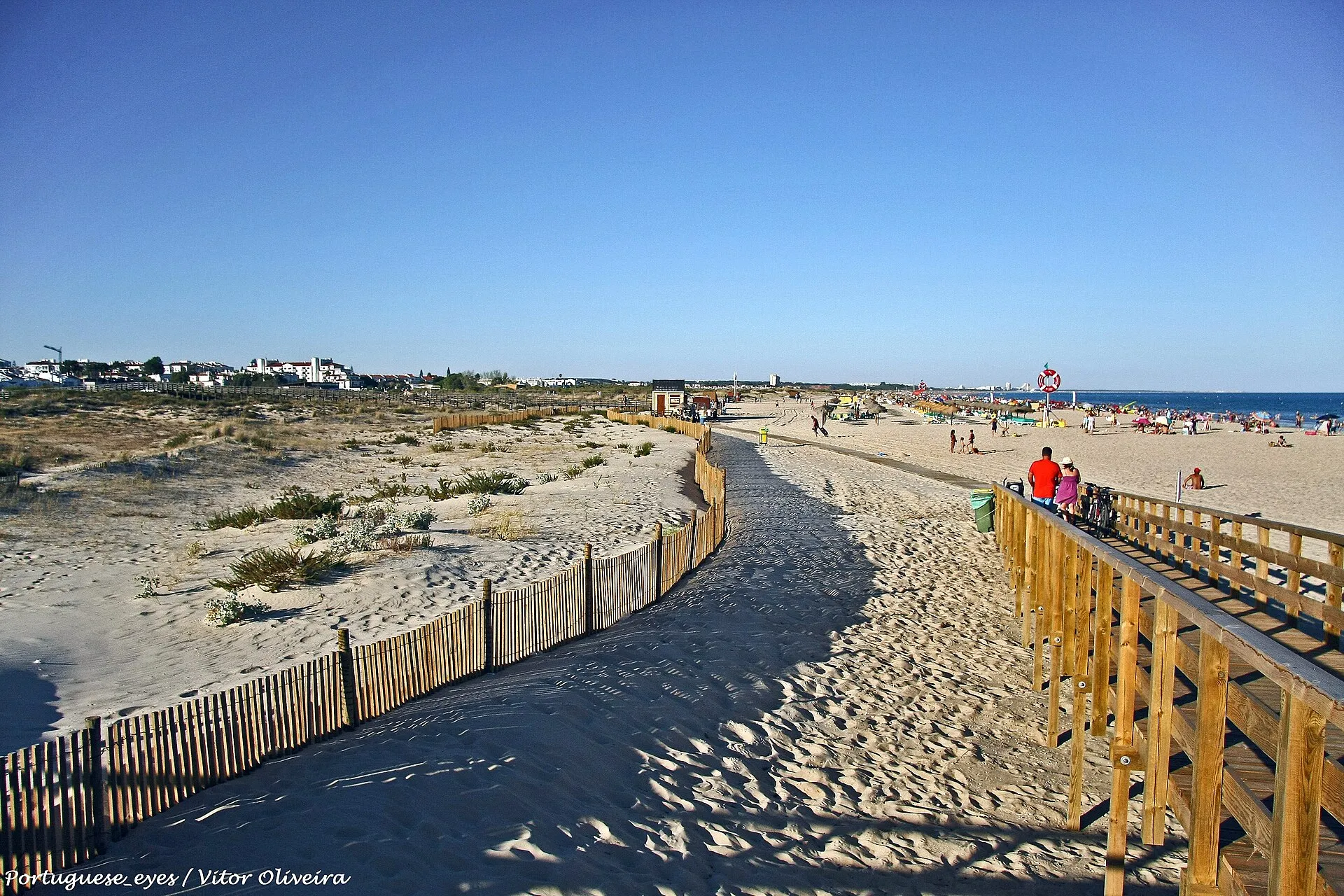
Which tides to use for Manta Rota: the Instituto Hidrográfico has no forecast of its own for the beach, but covers Barra de Cacela and Vila Real de Santo António. Ranges, summer time, what the tide changes on the sand and what I could not confirm.
Manta Rota beach is on the open coast, a few kilometres from the mouth of the Ria Formosa, and the tide changes the size of the sand during the day. This guide explains which table to use, shows the forecast for the next few days and summarises what I could confirm about the beach. The Instituto Hidrográfico has no forecast of its own for the beach, and I did not visit the beach for this article.
Quick answer
- Which table to use: the Instituto Hidrográfico (IH) has no forecast of its own for Manta Rota. Its 2026 Tide Table has the main port of Vila Real de Santo António and, as a corrected location, Barra de Cacela (IH). In a straight line, Manta Rota beach is about 4.9 km from Barra de Cacela and 10.2 km from the port of Vila Real de Santo António (coordinates from OpenStreetMap and the IH, calculated by me on 3 November 2026).
- Four tides a day: there are usually two high tides and two low tides. See the guide Tides in Cacela Velha to read them.
- Time: the IH tables are in UT. In summer time, add one hour.
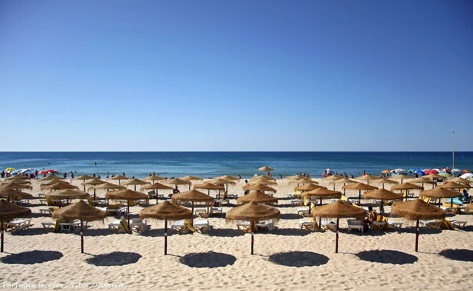
- The sand: according to Postal (14 August 2025), the sand is over 1 km long and gets even wider at low tide.
- Not confirmed: currents and the safest swimming areas by tide, the daily lifeguard hours and an IH forecast specific to the beach.
The chart forecast is astronomical and indicative. It does not include wind or atmospheric pressure and is not for navigation or for deciding whether anything is safe at sea or in the lagoon.
Tides for the next 7 days
| Day | Tides (time · height) | Range |
|---|---|---|
| Tuesday November 3 | LT 02:47 · 1.2 mHT 09:12 · 2.9 mLT 15:45 · 0.9 mHT 22:04 · 2.7 m | 2.0 m |
| Wednesday November 4 | LT 04:06 · 1.1 mHT 10:22 · 3.0 mLT 16:50 · 0.8 mHT 23:03 · 2.9 m | 2.2 m |
| Thursday November 5 | LT 05:08 · 0.9 mHT 11:20 · 3.1 mLT 17:42 · 0.7 mHT 23:52 · 3.0 m | 2.4 m |
| Friday November 6 spring tides | LT 05:58 · 0.8 mHT 12:09 · 3.2 mLT 18:24 · 0.6 m | 2.5 m |
| Saturday November 7 spring tides | HT 00:34 · 3.1 mLT 06:41 · 0.7 mHT 12:51 · 3.2 mLT 19:02 · 0.6 m | 2.6 m |
| Sunday November 8 spring tides | HT 01:12 · 3.2 mLT 07:19 · 0.6 mHT 13:30 · 3.2 mLT 19:35 · 0.7 m | 2.6 m |
| Monday November 9 spring tides | HT 01:46 · 3.2 mLT 07:54 · 0.6 mHT 14:05 · 3.1 mLT 20:06 · 0.7 m | 2.6 m |
The chart shows the forecast for the Guadiana bar at Vila Real de Santo António, the IH main port nearest to Manta Rota (Sabido). At Manta Rota the times can differ by tens of minutes (see below).
How the places differ
The IH gives Barra de Cacela as a location calculated from the port of Faro-Olhão, with these corrections (Tide Table 2026, Volume I, IH):
- High tide: 36 to 39 minutes earlier than at Faro-Olhão, depending on springs or neaps.
- Low tide: 23 to 27 minutes later.
- Heights: +0.02 and −0.03 m at high tides, and +0.03 and +0.21 m at low tides.
This means the times at Manta Rota and those on the Vila Real de Santo António chart do not match to the minute. As my own guideline, plan with a margin of at least one hour.
How much the tide rises and falls
At Faro-Olhão, the IH table gives high tides of 2.64 m (neaps) to 3.33 m (springs) and low tides of 1.36 m to 0.67 m, above chart datum. Applying the Barra de Cacela corrections, I calculate a range of about 2.4 m at springs (3.30 m and 0.88 m) and about 1.3 m at neaps (2.66 m and 1.39 m). This is my own calculation from the table and is only a reference.
Tidal range over the next 30 days
What the tide changes at Manta Rota
- The sand: it gets even wider at low tide, according to Postal; at high tide there is therefore less room.
- The water: Time Out describes a large stretch of shallow sea (Time Out, 19 June 2019).
- Access: it is by boardwalks over the dunes, from the village, and not across the lagoon (Time Out; Postal).
- Lifeguards: according to Postal, there are lifeguards in the bathing season. The 2026 bathing season ran from 1 June to 30 September, and the Blue Flag season from 15 June to 30 September (ABAAE). Outside it, no flag is flown. Check the days and hours with the Vila Real de Santo António municipality.
Manta Rota and the Ria Formosa
Manta Rota is at the eastern end of the Ria Formosa Natural Park, but the beach is open sea. To reach Fábrica beach or Cacela Velha beach, the usual crossing is by boat: the municipality and the National Maritime Authority advise against crossing the lagoon on foot, especially on the ebb. See Tides in Cacela Velha, Fábrica beach and walks near Cacela Velha.
What to do, in practice
- Check the forecast the day before and confirm it in the official Instituto Hidrográfico table.
- Choose the time by the sand: low tide gives more room on busy days.
- Allow a margin on the times: the locations differ by tens of minutes.
- Respect the flag and the lifeguards during the bathing season.
- In an emergency, call 112. With family, see also Algarve with kids.
Nearby
- Manta Rota beach and what to visit in Manta Rota.
- Where to eat in Manta Rota and Altura and Cacela Velha in summer.
Where to stay
Sources
- Instituto Hidrográfico: Tide Table 2026, Volume I (Faro-Olhão, Vila Real de Santo António and Barra de Cacela).
- Forecast: Sabido, tides at Vila Real de Santo António, with the EOT20 model (DGFI-TUM, CC BY 4.0).
- Postal (14 August 2025), Time Out (19 June 2019) and ABAAE, Blue Flag 2026.
- Distances: coordinates from OpenStreetMap and the IH.
- Photograph: Vitor Oliveira (CC BY-SA 2.0), via Wikimedia Commons.
Frequently asked questions
Which tide table should I use for Manta Rota?
The Instituto Hidrográfico has no forecast of its own for the beach. Use Vila Real de Santo António or Barra de Cacela, knowing the times can differ by tens of minutes, and allow a margin.
Is Manta Rota beach bigger at low tide?
According to Postal (14 August 2025), the sand is over 1 km long and gets even wider at low tide.
Until when are the Blue Flag and bathing season at Manta Rota?
In 2026, ABAAE lists the bathing season from 1 June to 30 September and the Blue Flag from 15 June to 30 September. Check lifeguard cover with the municipality.
Are the Instituto Hidrográfico tables in summer time?
No: the 2026 Tide Table states time zone 0 (UT). In summer time, add one hour.